.
There are 25 products.
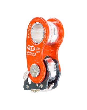
Pulley Climbing technology Rollnlock, is a pulley with blocker of last generation, with mobile side plates to facilitate installation at any point of the rope, compact and light, is especially useful in rope climbing maneuvers and vertical work, lifting loads and hoists, rescue in glacier and any other environment, autorescate, etc.
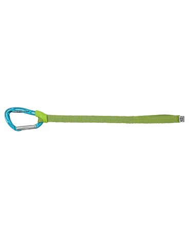
Carabiner system, 35 cm semi-rigid polyamide loop and rubber support, is a useful product that facilitates the clipping of a clamping point slightly out of arm's reach. Thanks to the long loop and the TRICKY LEVER system integrated in the carabiner body, a slightly further fixation point can be attached.
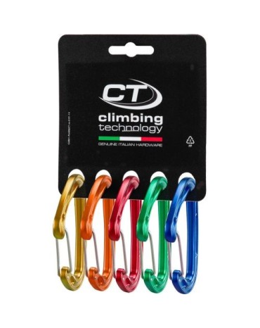
CT Climbing Technology Fly-Weight Evo carabiner pack, contains five colored climbing carabiners designed for sport climbing, mountaineering and big wall. They are compact, ultra-light and strong, with a wire lever, they are excellent for creating light fast tapes of the desired length
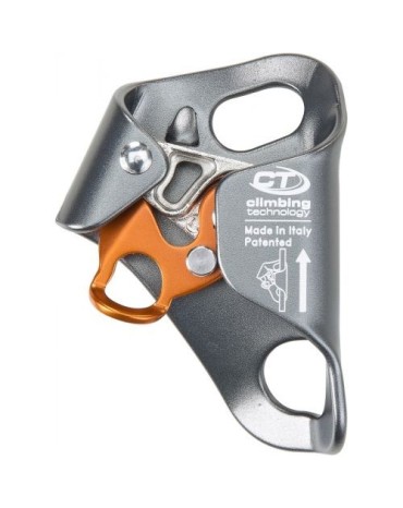
Climbing Techology Chest Ascender Plus ventral ascender, is for the right hand, made of light alloy for rope ascents and used in combination with the QUICK'UP +.
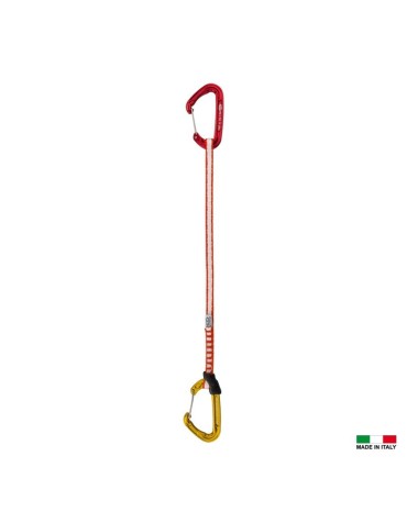
Long quickdraw, available with 35 and 55 cm webbing, ideal for mountaineering and sport routes to avoid rope chafing, to facilitate overcoming roofs, edges and traverses. Equipped with two FLY-WEIGHT EVO carabiners, 10 mm Dyneema webbing and FIXIT webbing holder.
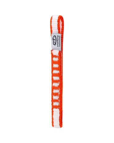
The tape is made of dyneema , a material with a very high ratio between the static strength of the fibers and their weight and low moisture absorption. Dyneema is also more resistant to friction from sharp edges than nylon and is harder to cut, but it is less flexible and reacts worse to pulling and friction because it has a lower melting point than polyamide.
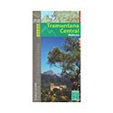
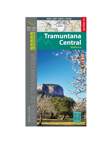
Tramuntana central map, scale 1:25.000, from Escorca to Valldemossa. Edition 2016/2017
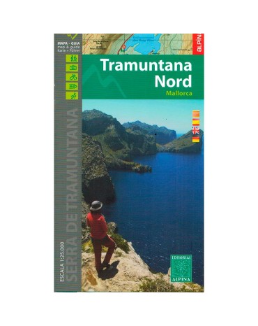
Northern Tramuntana map, scale 1:25.000, from Fornalutx to Pollença. Edition 2016/2017
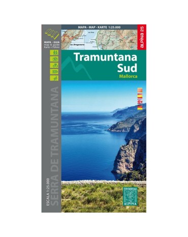
Southern Tramuntana Map, scale 1:25.000, from Esporles to Andratx. Edition 2015.
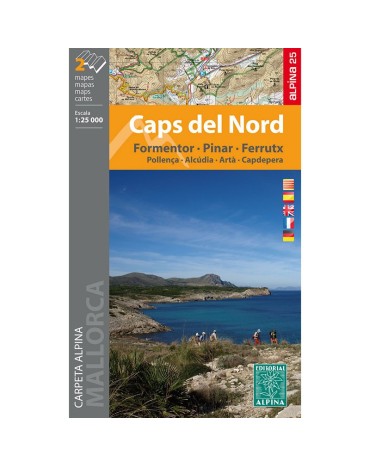
Mountain map caps del nord, scale 1:25.000, includes 2 maps.
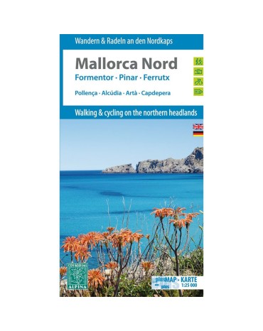
Mountain map north Mallorca, scale 1:25.000, includes the villages of Pollença, Alcúdia, Artà, Capdepera. Edition 2014.
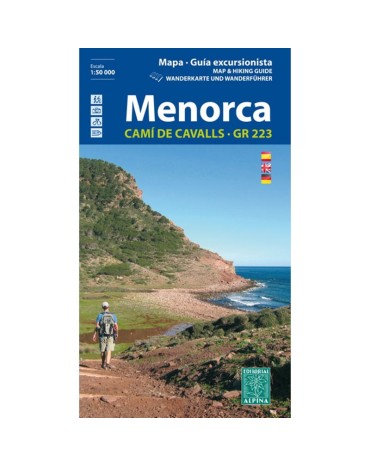
Menorca mountain map, scale 1:25,000. Pass through the famous and beautiful Cami de Cavals that surround the perimeter of the island.
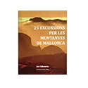
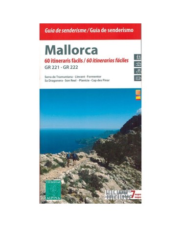
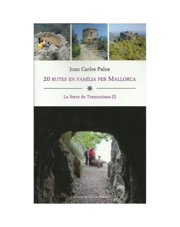
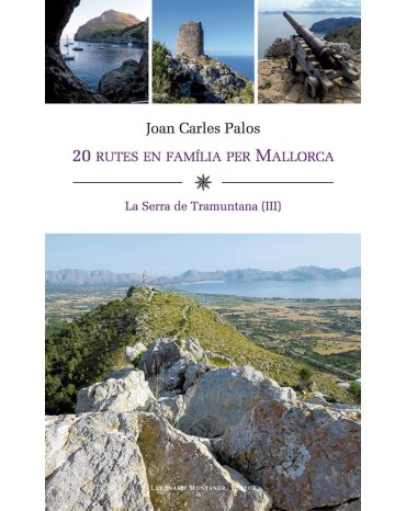
Juan Carles Palos, 20 family routes in Mallorca, "The Serra de Tramuntna tom III"
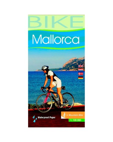
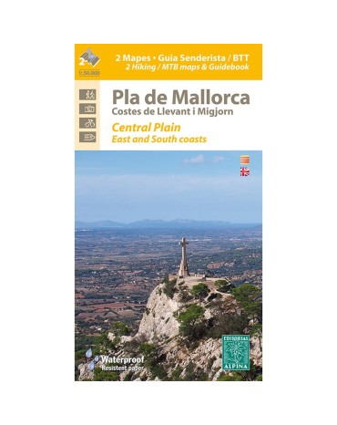
Map of hiking and bicycle everything terrain for the zone flat month of Mallorca. Scale:1:50.000. Edicón 2016
Mountain map Ibiza and Formentera, scale:1:50.000/1:30.000, edition 2016/2017
Juan Carles Palos, 20 family routes in Mallorca, "The Serra de Tramuntna tom III"
Juan Carles Palos, 20 family routes in Mallorca, "The Serra de Tramuntna tom III"
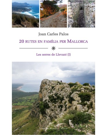
First delivery of the Serres de Llevant, it is a practical guide to enjoy an experience in the mountains, first delivery that includes twenty itineraries on foot through the mountains of Levante, and specifically by Artà, Capdepera, Sant Llorenç, Son Servera and Manacor. They are simple excursions, easy to follow and, above all, they are all suitable for families
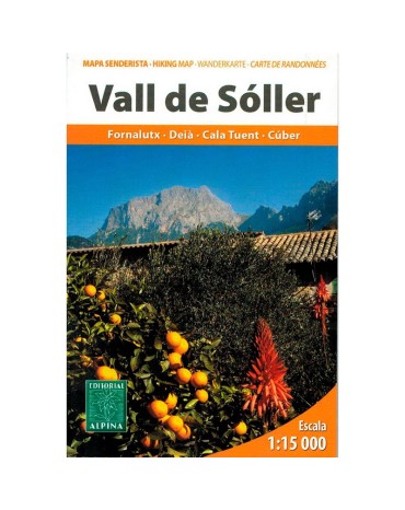
Map excursionista and guide of the lovely Valley of Sóller. Scale 1:15.000. Edition 2013
Second delivery of the Serres de Llevant, it is a practical guide to enjoy an experience in the mountains, this second installment that includes twenty itineraries on foot through the mountains of Levante, and specifically by Manacor, Felanitx, Santanyí, ses Salines , Llucmajor, Algaida, Vilafranca de Bonany, San Juan and Santa Eugènia.
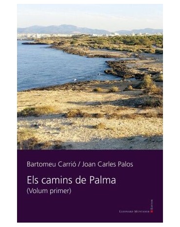
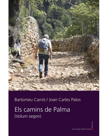
Book by Joan Carles Palos and Bartomeu Carrió, collects the itineraries and excursions in the peri-urban area of Palma, discover the less traveled areas of the City, they will surprise you.
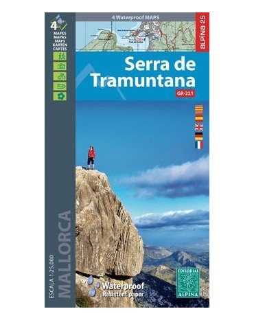
Map folder of the Serra de Tramuntana, includes all the Serra de Tramuntana spread over 2 double-sided maps and made of material for use with rain, scale 1:25,000.
Book of Joan Carles Palos and Bartomeu Carrió, collects itineraries and excursions through the periurban area of Palma, discover the less traveled areas of the city, you will be surprised.




.jpeg)

