.
There are 26 products.
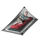
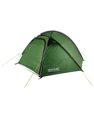
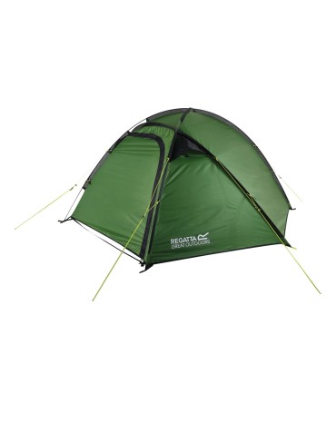
Las ventilaciones múltiples y la puerta de malla permiten que el aire fluya mientras se mantienen alejados los insectos.
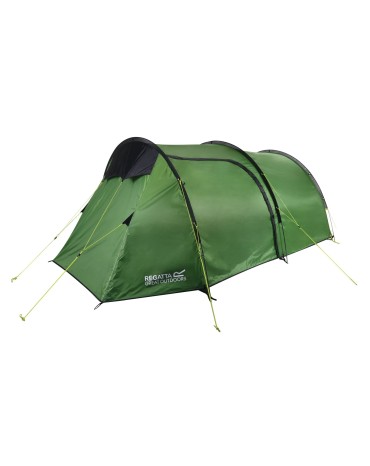
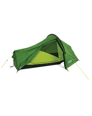
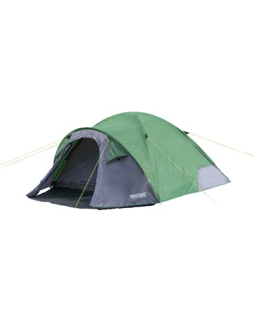
Lightweight 4-person tunnel tent built to meet the needs of adventurers.
Enjoy a few days in the mountains with this compact, easy to set up and secure tent.
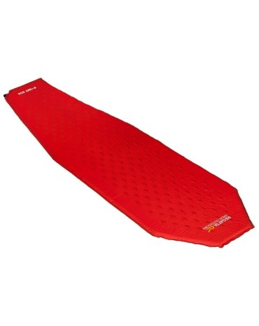
Our ultra-lightweight self-inflating camping mat with a weight-saving diamond-cut foam design.
The multiple vents and mesh door allow air to flow while keeping insects away.
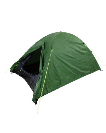
Spacious and waterproof, our Hydrafort Kivu v3 4-person dome tent is perfect for outdoor adventures.
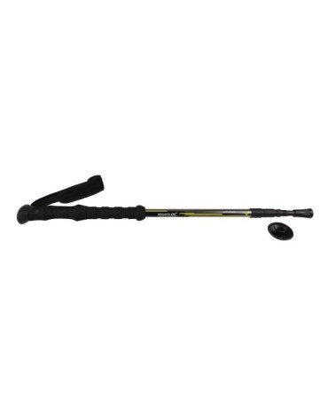
Lightweight and ergonomic: The Ultralite cane will make walking lighter.
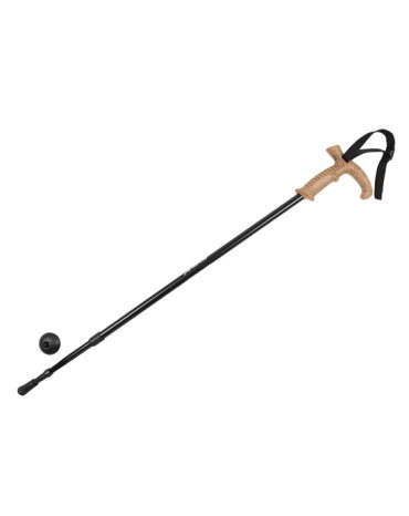
Lightweight and shock absorbing: the Crook Walking Stick makes walking easier.
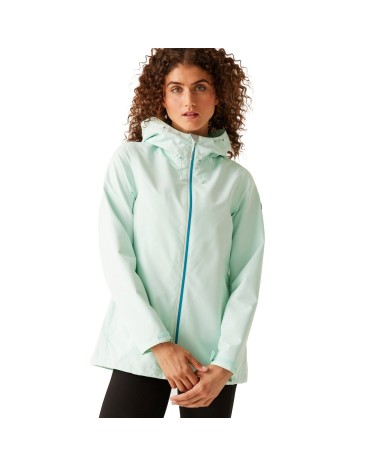
Lightweight and water resistant, our Hamara jacket is the perfect easy-to-wear rain jacket for rainy days.
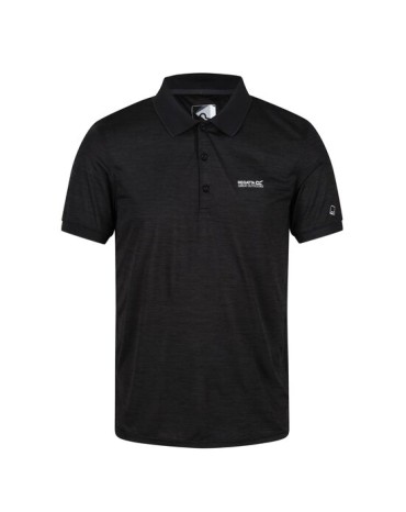
Short sleeve polo shirt made of quick-drying knitted fabric that wicks away sweat.
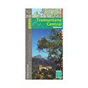
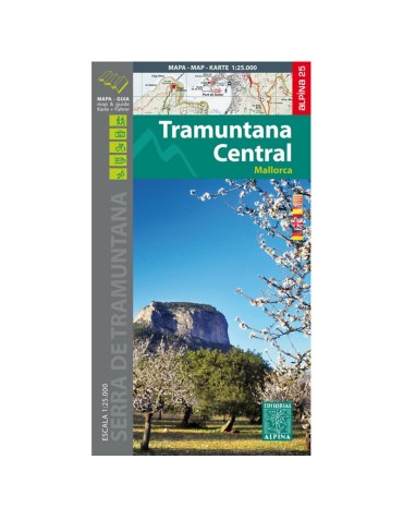
Tramuntana central map, scale 1:25.000, from Escorca to Valldemossa. Edition 2016/2017
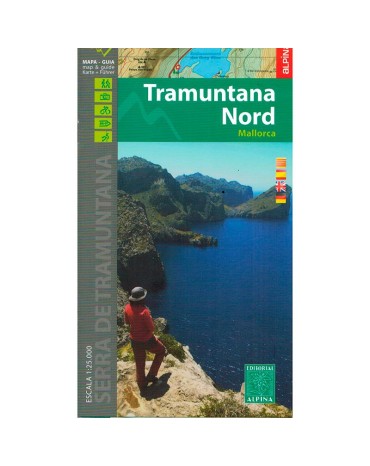
Northern Tramuntana map, scale 1:25.000, from Fornalutx to Pollença. Edition 2016/2017
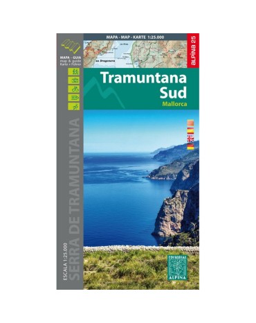
Southern Tramuntana Map, scale 1:25.000, from Esporles to Andratx. Edition 2015.
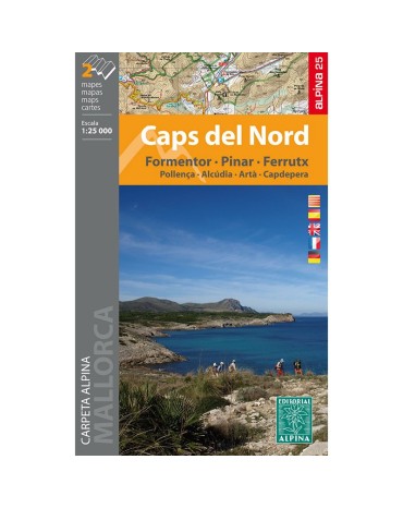
Mountain map caps del nord, scale 1:25.000, includes 2 maps.
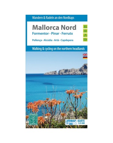
Mountain map north Mallorca, scale 1:25.000, includes the villages of Pollença, Alcúdia, Artà, Capdepera. Edition 2014.
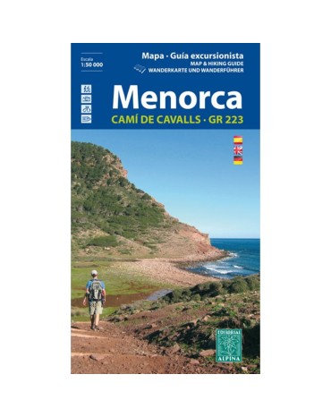
Menorca mountain map, scale 1:25,000. Pass through the famous and beautiful Cami de Cavals that surround the perimeter of the island.
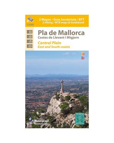
Map of hiking and bicycle everything terrain for the zone flat month of Mallorca. Scale:1:50.000. Edicón 2016
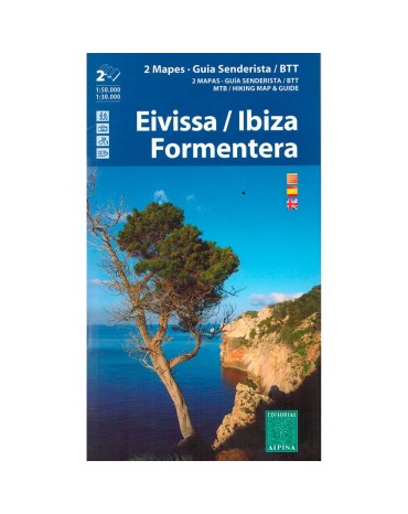
Mountain map Ibiza and Formentera, scale:1:50.000/1:30.000, edition 2016/2017
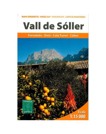
Map excursionista and guide of the lovely Valley of Sóller. Scale 1:15.000. Edition 2013
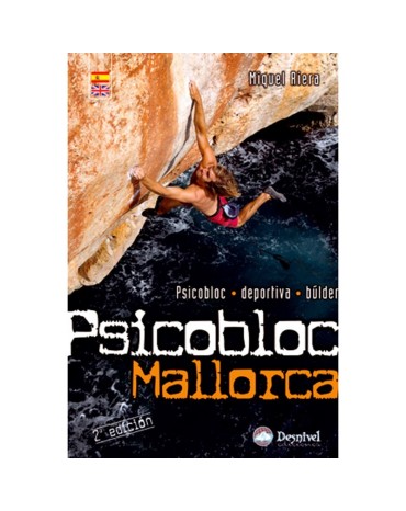
Psicobloc is normally done al heights of 10 to 20 metres. it requireas very great effort and falls are usually long. You must be really carefull. Before getting on a wall , always check how to get out of the water, since they are often sharpand overhanging. Do not get on a route on your own winter or if the sea is rough. And of the jellyfish.
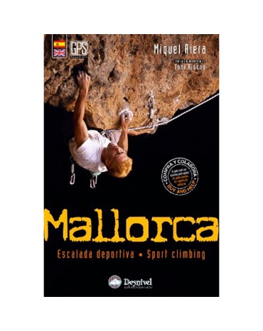
This gidebook has been written with the aim of offering climbers reliable and exact onformation. Neverrtheless, Desnivel wishes to remind readers that climbing is extremely dangerous and that nature is upredictableand ursafe.
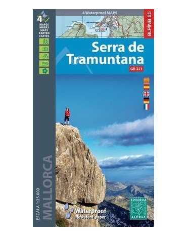
Map folder of the Serra de Tramuntana, includes all the Serra de Tramuntana spread over 2 double-sided maps and made of material for use with rain, scale 1:25,000.
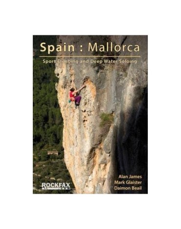
New version of the ROCKFAX climbing guide, contains new routes and new routes in the existing ones. Edition 2020. Full color pages.


.jpeg)
