.
There are 25 products.
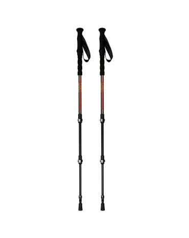
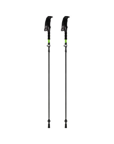
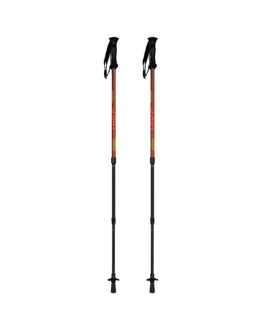
The Asolo Aspe QL Roundhead Mid poles are ideal for trekking, they have an ergonomic Eva medium grip and a quick-adjustment dragon bar, made of high quality aluminum 7075, adjustable up to a maximum height of 135 cm.
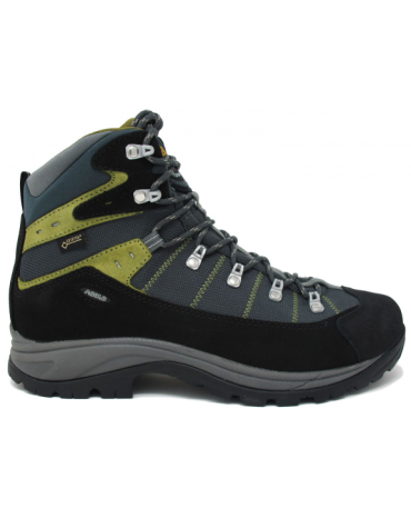
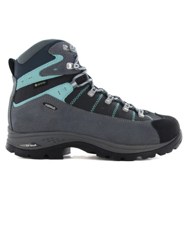
Asolo's Tuka boots are extremely versatile, recommended for true hiking enthusiasts.
Asolo's Tuka boots are extremely versatile, recommended for true hiking enthusiasts.
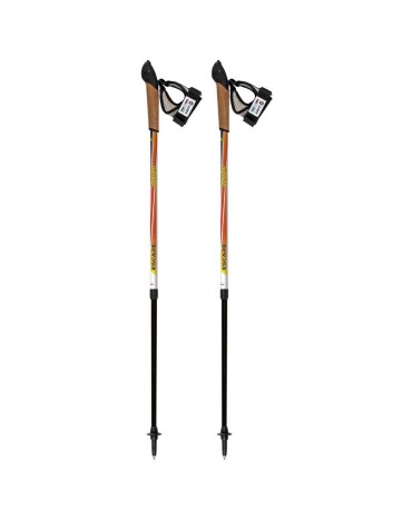
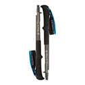
The Asolo Escape 2 Top Click poles are very lightweight and telescopic.
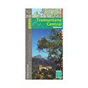
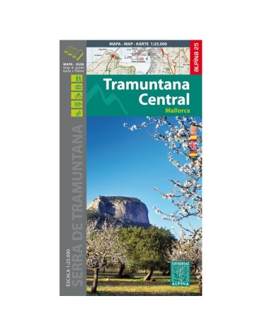
Tramuntana central map, scale 1:25.000, from Escorca to Valldemossa. Edition 2016/2017
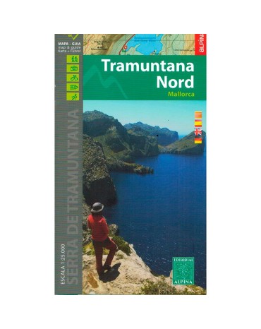
Northern Tramuntana map, scale 1:25.000, from Fornalutx to Pollença. Edition 2016/2017
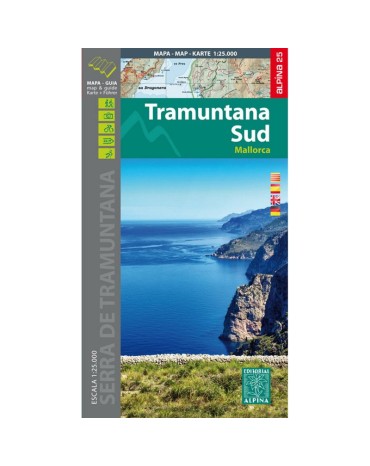
Southern Tramuntana Map, scale 1:25.000, from Esporles to Andratx. Edition 2015.
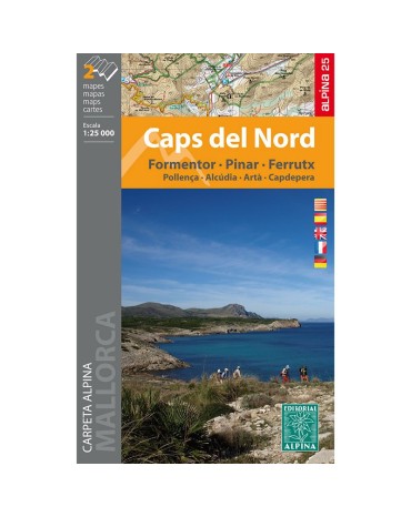
Mountain map caps del nord, scale 1:25.000, includes 2 maps.
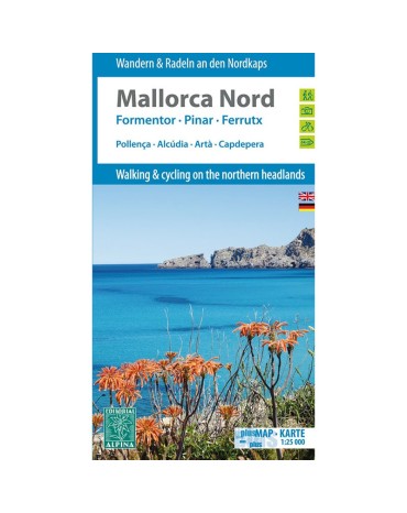
Mountain map north Mallorca, scale 1:25.000, includes the villages of Pollença, Alcúdia, Artà, Capdepera. Edition 2014.
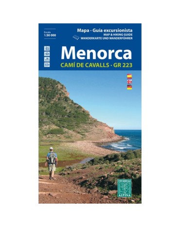
Menorca mountain map, scale 1:25,000. Pass through the famous and beautiful Cami de Cavals that surround the perimeter of the island.
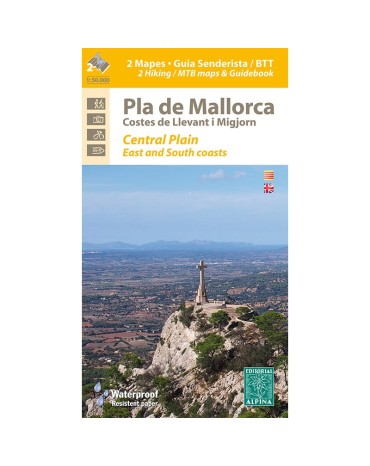
Map of hiking and bicycle everything terrain for the zone flat month of Mallorca. Scale:1:50.000. Edicón 2016
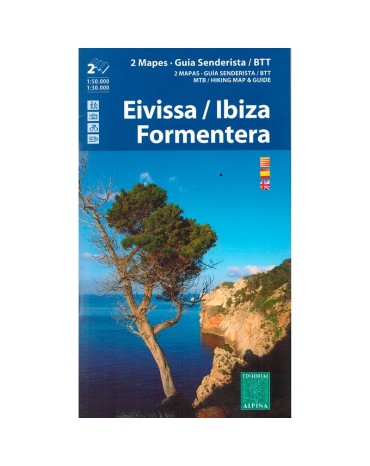
Mountain map Ibiza and Formentera, scale:1:50.000/1:30.000, edition 2016/2017
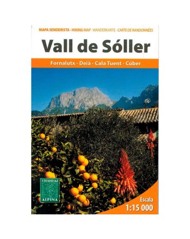
Map excursionista and guide of the lovely Valley of Sóller. Scale 1:15.000. Edition 2013
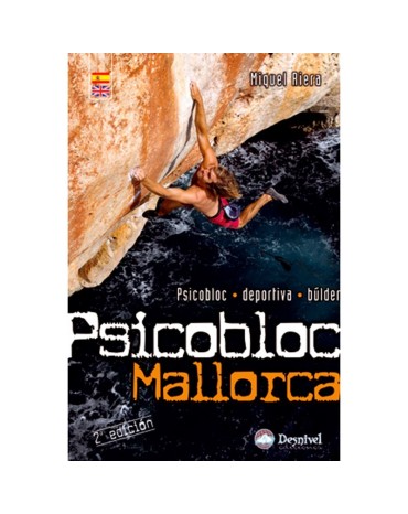
Psicobloc is normally done al heights of 10 to 20 metres. it requireas very great effort and falls are usually long. You must be really carefull. Before getting on a wall , always check how to get out of the water, since they are often sharpand overhanging. Do not get on a route on your own winter or if the sea is rough. And of the jellyfish.
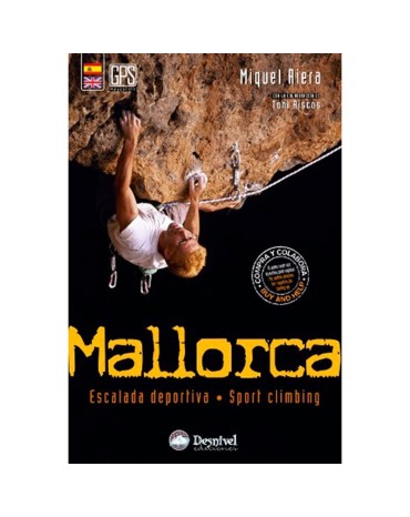
This gidebook has been written with the aim of offering climbers reliable and exact onformation. Neverrtheless, Desnivel wishes to remind readers that climbing is extremely dangerous and that nature is upredictableand ursafe.
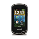
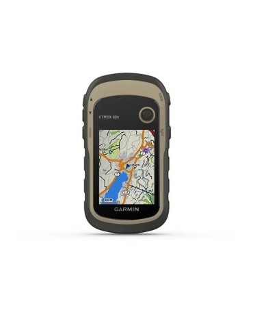
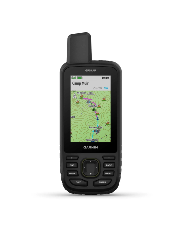
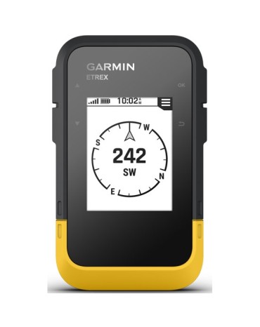
Garmin offers the Etrex 32, a sun-readable 2.2 "color screen handheld GPS, also includes preloaded TopoActive maps of Europe with roads and trails with routing function for when biking or hiking. senderism and compatibility with GPS and GLONASS satellite systems for better tracking in more remote environments.
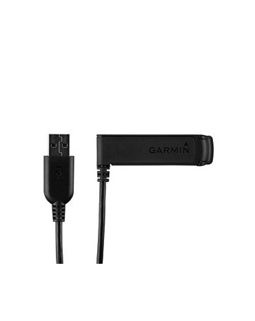
USB charger clip you can get the most out of your compatible Garmin device like the Fenix, which will allow you to fix the unit to the mounting bracket and use the integrated USB interface to connect it to the computer or to the power adapter to recharge the battery.
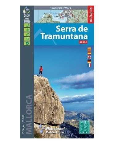
Map folder of the Serra de Tramuntana, includes all the Serra de Tramuntana spread over 2 double-sided maps and made of material for use with rain, scale 1:25,000.
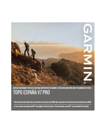
Let Garmin guide you on your outdoor adventures or holidays in Spain with the most detailed full-coverage leisure map.




.jpeg)

