.
There are 25 products.
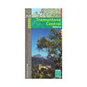
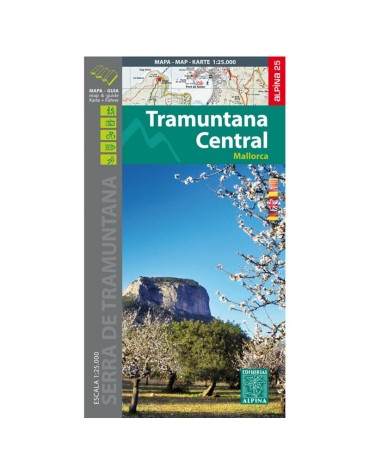
Tramuntana central map, scale 1:25.000, from Escorca to Valldemossa. Edition 2016/2017
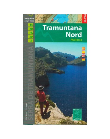
Northern Tramuntana map, scale 1:25.000, from Fornalutx to Pollença. Edition 2016/2017
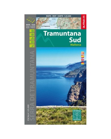
Southern Tramuntana Map, scale 1:25.000, from Esporles to Andratx. Edition 2015.
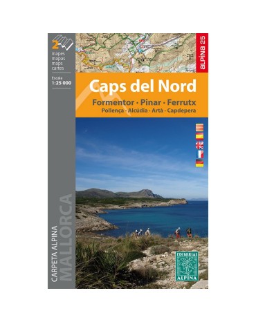
Mountain map caps del nord, scale 1:25.000, includes 2 maps.
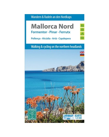
Mountain map north Mallorca, scale 1:25.000, includes the villages of Pollença, Alcúdia, Artà, Capdepera. Edition 2014.
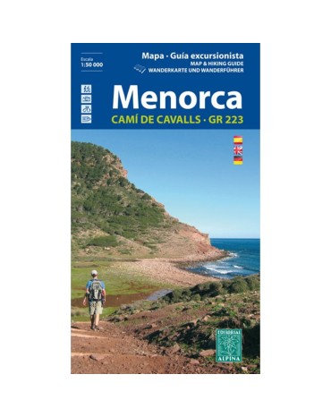
Menorca mountain map, scale 1:25,000. Pass through the famous and beautiful Cami de Cavals that surround the perimeter of the island.
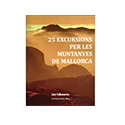
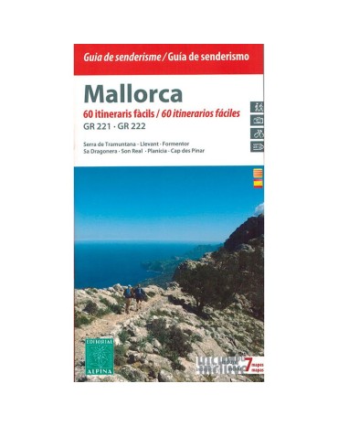
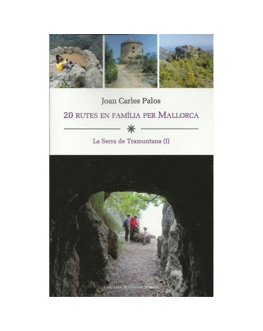
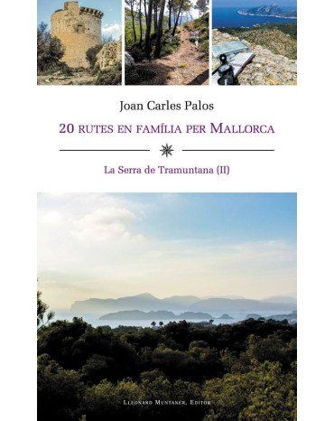
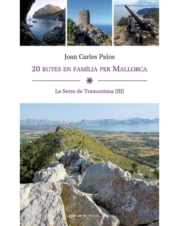
Juan Carles Palos, 20 family routes in Mallorca, "The Serra de Tramuntna tom III"
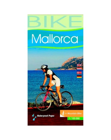
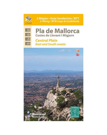
Map of hiking and bicycle everything terrain for the zone flat month of Mallorca. Scale:1:50.000. Edicón 2016
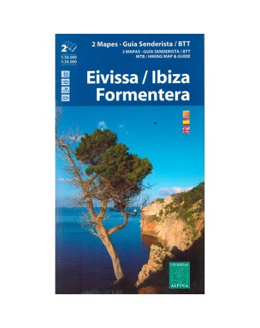
Mountain map Ibiza and Formentera, scale:1:50.000/1:30.000, edition 2016/2017
Juan Carles Palos, 20 family routes in Mallorca, "The Serra de Tramuntna tom III"
Juan Carles Palos, 20 family routes in Mallorca, "The Serra de Tramuntna tom III"
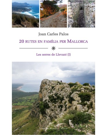
First delivery of the Serres de Llevant, it is a practical guide to enjoy an experience in the mountains, first delivery that includes twenty itineraries on foot through the mountains of Levante, and specifically by Artà, Capdepera, Sant Llorenç, Son Servera and Manacor. They are simple excursions, easy to follow and, above all, they are all suitable for families
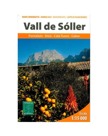
Map excursionista and guide of the lovely Valley of Sóller. Scale 1:15.000. Edition 2013
Second delivery of the Serres de Llevant, it is a practical guide to enjoy an experience in the mountains, this second installment that includes twenty itineraries on foot through the mountains of Levante, and specifically by Manacor, Felanitx, Santanyí, ses Salines , Llucmajor, Algaida, Vilafranca de Bonany, San Juan and Santa Eugènia.
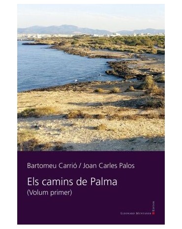
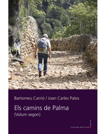
Book by Joan Carles Palos and Bartomeu Carrió, collects the itineraries and excursions in the peri-urban area of Palma, discover the less traveled areas of the City, they will surprise you.
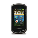
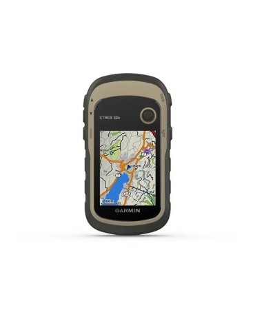
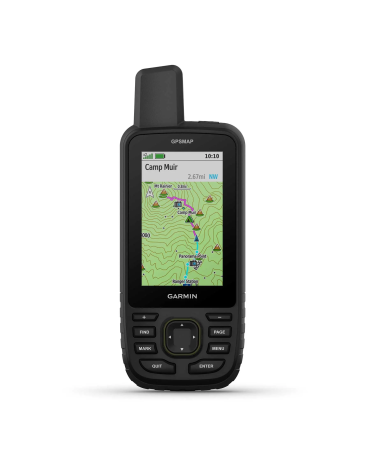
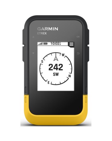
Garmin offers the Etrex 32, a sun-readable 2.2 "color screen handheld GPS, also includes preloaded TopoActive maps of Europe with roads and trails with routing function for when biking or hiking. senderism and compatibility with GPS and GLONASS satellite systems for better tracking in more remote environments.
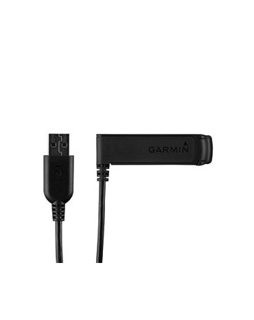
USB charger clip you can get the most out of your compatible Garmin device like the Fenix, which will allow you to fix the unit to the mounting bracket and use the integrated USB interface to connect it to the computer or to the power adapter to recharge the battery.
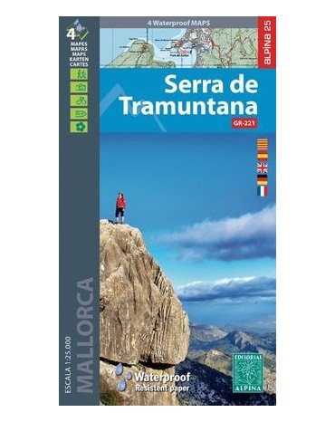
Map folder of the Serra de Tramuntana, includes all the Serra de Tramuntana spread over 2 double-sided maps and made of material for use with rain, scale 1:25,000.
Book of Joan Carles Palos and Bartomeu Carrió, collects itineraries and excursions through the periurban area of Palma, discover the less traveled areas of the city, you will be surprised.
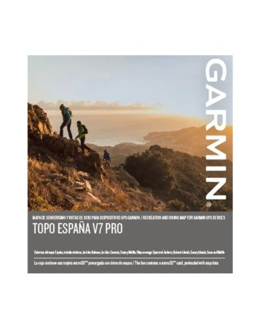
Let Garmin guide you on your outdoor adventures or holidays in Spain with the most detailed full-coverage leisure map.


.jpeg)

