













.jpeg)




Now available: Alpina’s latest releases, the GR222 and the GR226. Discover Mallorca’s least-known region, the Levante.
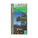
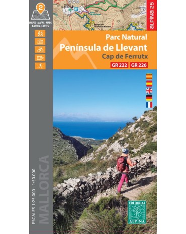
The new Alpina Map of the Llevant Peninsula and Cap de Ferrutx Natural Park is a high-precision hiking map published by Editorial Alpina.
Scale: Available in topographical detail at 1:25,000 and an overview at 1:50,000, ideal for detailed hiking.
Geographical scope: Covers the Llevant Peninsula Natural Park, Cap de Ferrutx and neighbouring areas of Artà and Capdepera in north-eastern Mallorca.
Contents: Contour lines, a complete network of signposted paths and trails, mountain bike routes, notable peaks (such as Bec de Ferrutx) and chapels or coves of interest.
Get your MAP ALPINA PENINSULA DE LLEVANT today!
Data sheet
Specific References
Now available: Alpina’s latest releases, the GR222 and the GR226. Discover Mallorca’s least-known region, the Levante.