










.jpeg)

Cart
There are no more items in your cart

There are 49 products.
Active filters



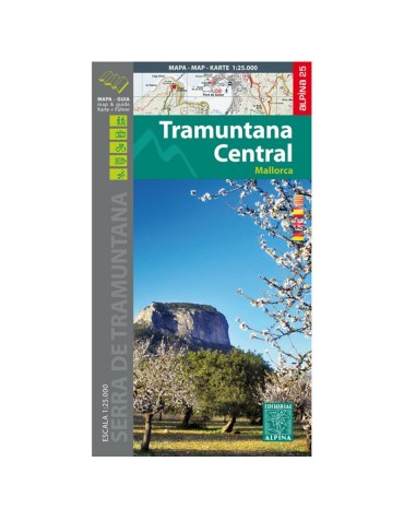
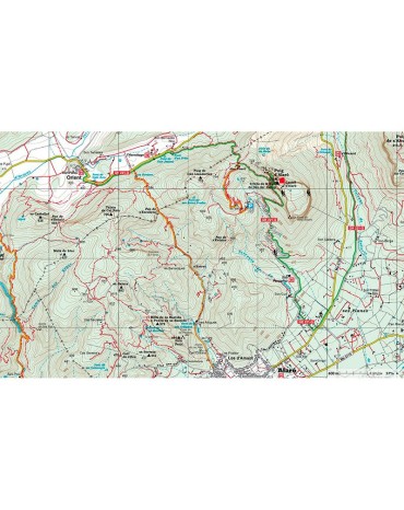
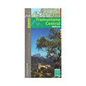
Tramuntana central map, scale 1:25.000, from Escorca to Valldemossa. Edition 2016/2017

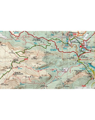
Northern Tramuntana map, scale 1:25.000, from Fornalutx to Pollença. Edition 2016/2017
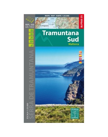
Southern Tramuntana Map, scale 1:25.000, from Esporles to Andratx. Edition 2015.
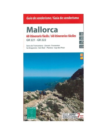
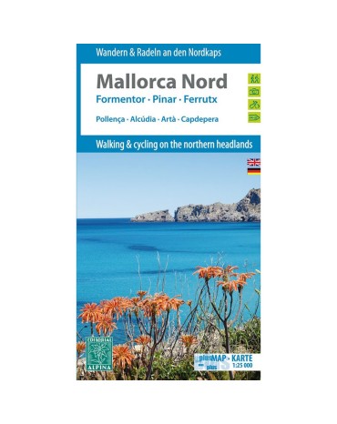
Mountain map north Mallorca, scale 1:25.000, includes the villages of Pollença, Alcúdia, Artà, Capdepera. Edition 2014.
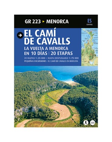
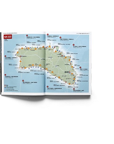
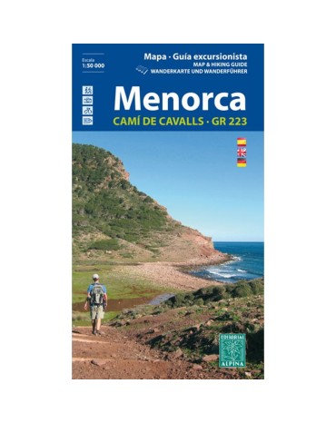
Guide of the route that goes around the island of Menorca, the cami de cavalls (horse trail), an ancestral trail of 185 km that runs along the Menorcan coast.
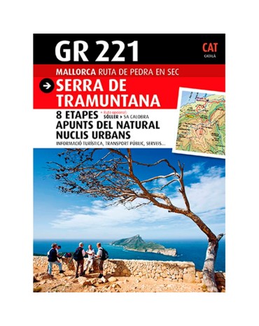
Pedra en sec or GR221 guide that passes through the Serra de Tramuntana. Recently declared a Unesco World Heritage Site, a beautiful journey through this impressive mountain range.
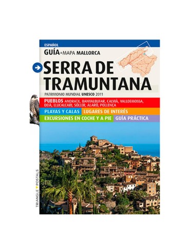
The Guide-map of Serra de Tramuntana contains the keys to move without difficulty through one of the most beautiful and extensive natural areas of Mallorca.

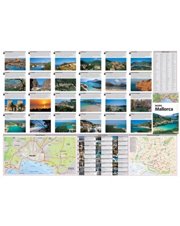
Map of the island of Mallorca. Scale1:130.000. With descriptions and photos of the best places of island.

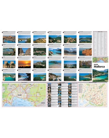
Map of the island of Mallorca. Scale1:130.000. With descriptions and photos of the best places of island.
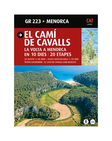
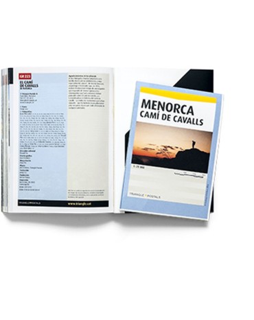
Guide of the route that goes around the island of Menorca, the cami de cavalls (horse trail), an ancestral trail of 185 km that runs along the Menorcan coast.
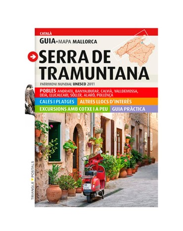
The Guide-map of Serra de Tramuntana contains the keys to move without difficulty through one of the most beautiful and extensive natural areas of Mallorca.
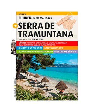
The Guide-map of Serra de Tramuntana contains the keys to move without difficulty through one of the most beautiful and extensive natural areas of Mallorca.
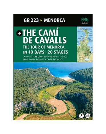
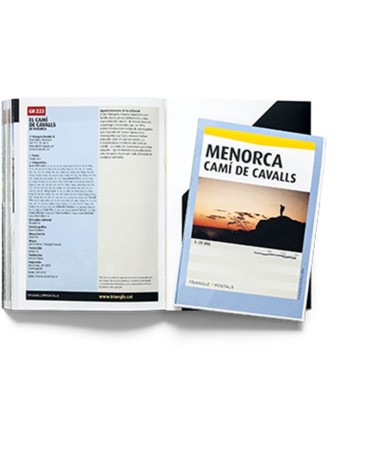
Guide of the route that goes around the island of Menorca, the cami de cavalls (horse trail), an ancestral trail of 185 km that runs along the Menorcan coast.
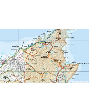
Menorca mountain map, scale 1:25,000. Pass through the famous and beautiful Cami de Cavals that surround the perimeter of the island.
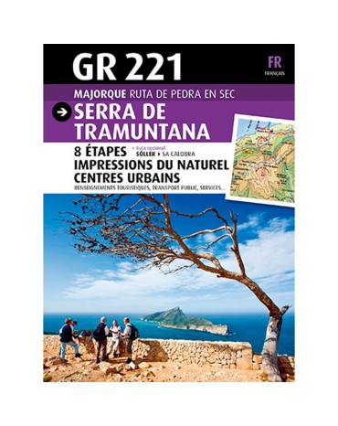
Pedra en sec or GR221 guide that passes through the Serra de Tramuntana. Recently declared a Unesco World Heritage Site, a beautiful journey through this impressive mountain range.
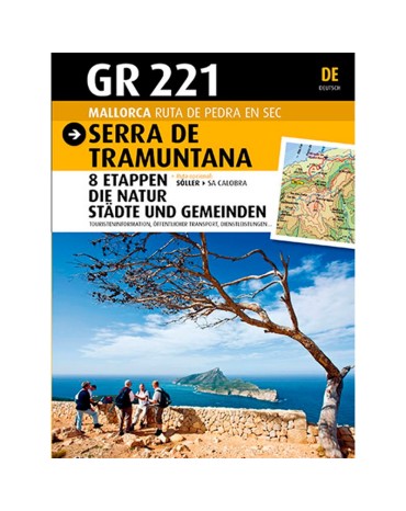
Pedra en sec or GR221 guide that passes through the Serra de Tramuntana. Recently declared a Unesco World Heritage Site, a beautiful journey through this impressive mountain range.
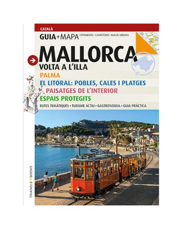
It proposes a route for all the island, a lovely voyage to discover,admire and know the most natural surroundings, resort rural paths on foot or with bicycle, tambien realise routes that contemplate a rich artistic heritage and historical, footprint of civilisations that have lived in Mallorca since the Prehistory.
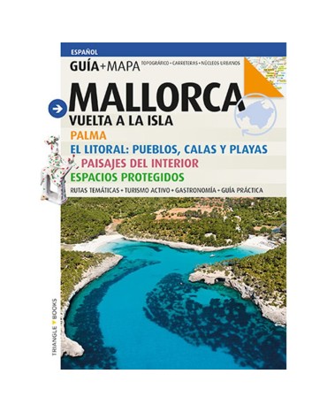
It proposes a route for all the island, a lovely voyage to discover,admire and know the most natural surroundings, resort rural paths on foot or with bicycle, tambien realise routes that contemplate a rich artistic heritage and historical, footprint of civilisations that have lived in Mallorca since the Prehistory.
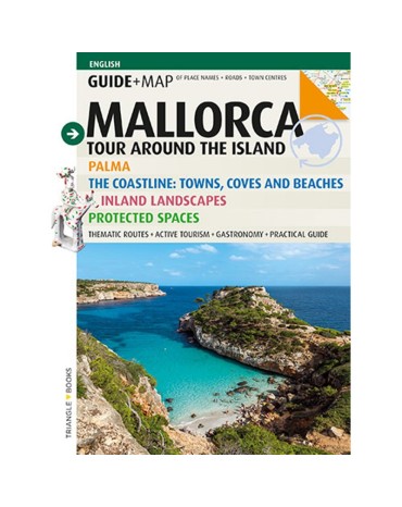
It proposes a route for all the island, a lovely voyage to discover,admire and know the most natural surroundings, resort rural paths on foot or with bicycle, tambien realise routes that contemplate a rich artistic heritage and historical, footprint of civilisations that have lived in Mallorca since the Prehistory.
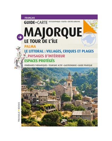
It proposes a route for all the island, a lovely voyage to discover,admire and know the most natural surroundings, resort rural paths on foot or with bicycle, tambien realise routes that contemplate a rich artistic heritage and historical, footprint of civilisations that have lived in Mallorca since the Prehistory.
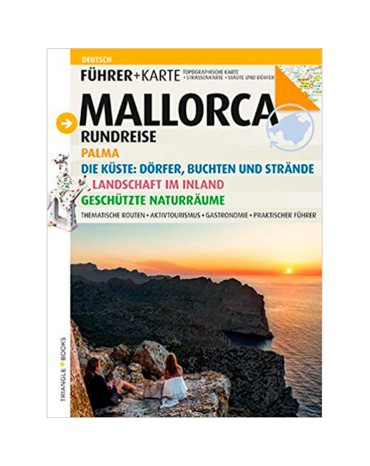
It proposes a route for all the island, a lovely voyage to discover,admire and know the most natural surroundings, resort rural paths on foot or with bicycle, tambien realise routes that contemplate a rich artistic heritage and historical, footprint of civilisations that have lived in Mallorca since the Prehistory.
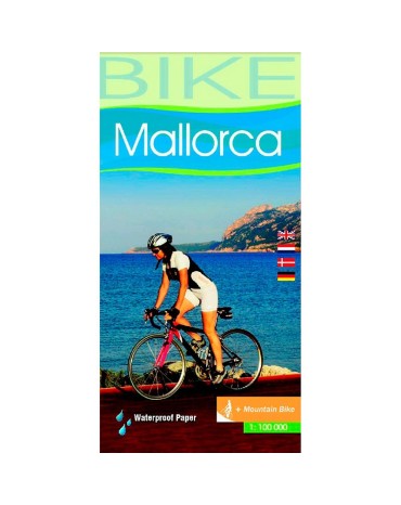
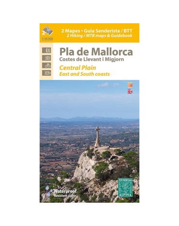
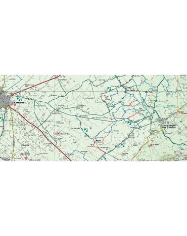
Map of hiking and bicycle everything terrain for the zone flat month of Mallorca. Scale:1:50.000. Edicón 2016
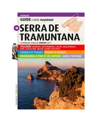
The Guide-map of the Saw of Tramuntana contains the keys to move without difficulty for one of the natural spaces more beautiful and extensive of Mallorca

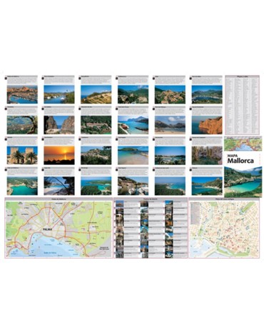
Map of the island of Mallorca. Scale1:130.000. With descriptions and photos of the best places of island.
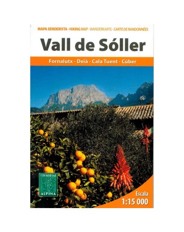
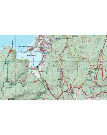
Map excursionista and guide of the lovely Valley of Sóller. Scale 1:15.000. Edition 2013
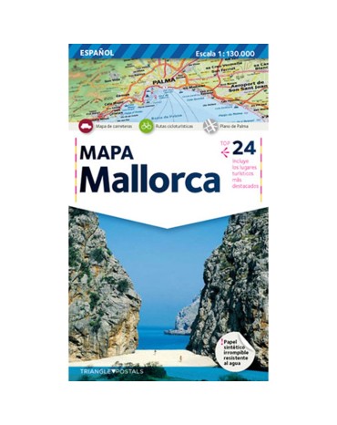
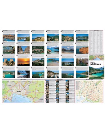
Map of the island of Mallorca. Scale1:130.000. With descriptions and photos of the best places of island.
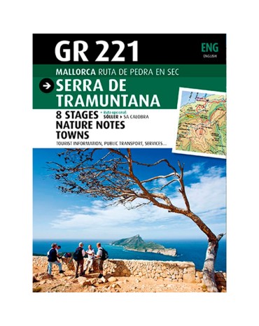
Guide of the route stone in dry or GR221, transcorre for the Saw of Tramuntana declared recently Heritage of the Unesco, a lovely voyage through this impressive saw.
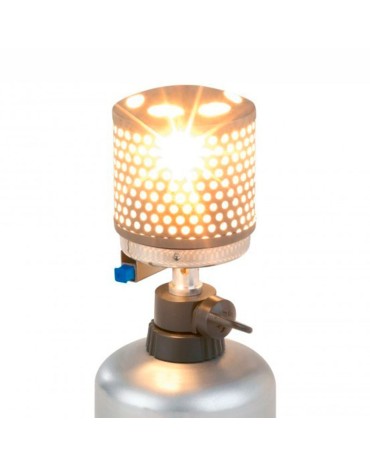
The lightweight Mighty Lite lamp with a power of up to 50W. Cover with a perforated mesh of solid stainless steel, guaranteeing the transmission of light; automatic ignition. Includes carrying case and handle for transportation.

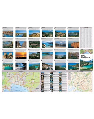
Map of the island of Mallorca. Scale1:130.000. With descriptions and photos of the best places of island
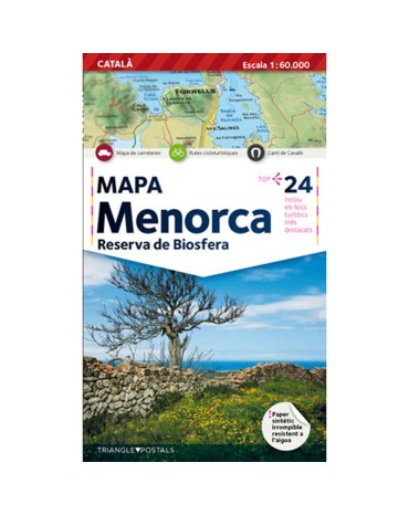
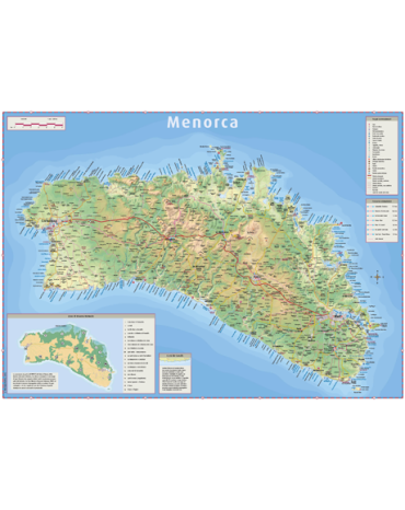
Map of the island of Menorca. ESCALA1:60,000. With descriptions and photos of the best places on the island.
The Polar A370 is a fitness tracker for training and everyday life: wrist-based heart rate, activity + sleep tracking, phone notifications, and connected GPS via your smartphone.
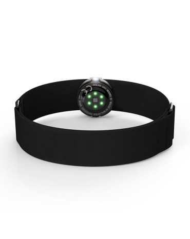
You can use the Polar OH1 to transmit your heart rate on any Bluetooth-compatible Polar device, to many fitness applications and to Bluetooth-compatible gym equipment, train more comfortably, thanks to its lightness or you'll notice you're wearing it.
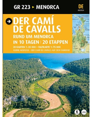
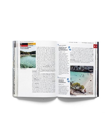
Guide of the route that gives the turn to l ílla of Menorca, the cami of horses a cami ancestral of 185 km that for the coast menorquina.
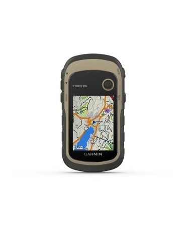
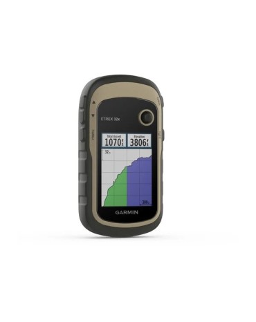
Garmin offers the Etrex 32, a sun-readable 2.2 "color screen handheld GPS, also includes preloaded TopoActive maps of Europe with roads and trails with routing function for when biking or hiking. senderism and compatibility with GPS and GLONASS satellite systems for better tracking in more remote environments.